
Headquarters Inaruwa Website Official website Zone Kosi Zone | Established 1962 Time zone NPT (UTC+5:45) Area 1,257 km² | |
 | ||
Region Eastern (Purwanchal); Terai-Madhesh plain, Limbuwan. University B.P. Koirala Institute of Health Sciences | ||
Sunsari District (Nepali: सुनसरी जिल्ला Listen ), a part of Province No. 1 in Terai plain, is one of the seventy-five districts of Nepal in Terai plain of Southern Nepal. The district, with Inaruwa as its district headquarters, covers an area of 1,257 km² and at the 2011 census had a population of 763,487.
Map of Sunsari, Nepal
The area was originally part of Morang District but became its own district in 1962 when Nepal was divided into 14 zones and 75 districts.
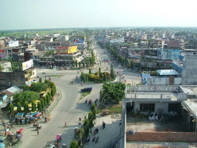
Major cities in Sunsari district are Inaruwa, Itahari, Jhumka and Dharan, Duhabi, and Mahendranagar. Some religious places of this district are Budha Subba Temple ,Ramdhuni, Chataradham ( prachin haridwar), Baraha Kshetra, Bishnupaduka, Dantakali, and Pindeshori.
Sunsari lies in the Outer Terai-Madhesh plain of Nepal.