
Country United States GNIS feature ID 833941 Area 5.7 km² Local time Friday 9:46 AM | Time zone Mountain (MST) (UTC-7) Elevation 1,198 m Population 73 (2010) Area code 308 | |
 | ||
Weather 2°C, Wind E at 19 km/h, 96% Humidity | ||
Sunol is an unincorporated community and census-designated place in Cheyenne County, Nebraska, United States. As of the 2010 census it had a population of 73. Sunol is located in the valley of Lodgepole Creek on U.S. Route 30 and U.S. Route 385, 11 miles (18 km) east of Sidney, the county seat. Interstate 80 is 3 miles (5 km) to the south via Nebraska Highway 17E.
Contents
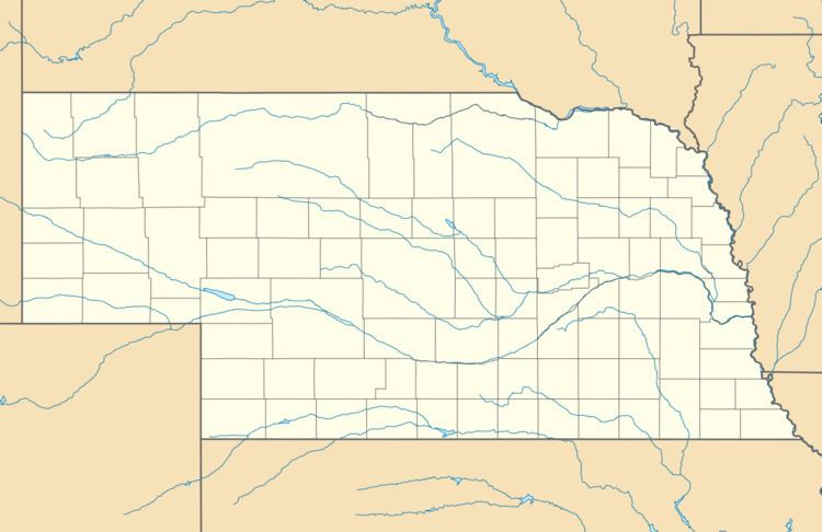
Map of Sunol, NE 69149, USA
History
Sunol was platted in 1909. A post office was established at Sunol in 1910, and remained in operation until it was discontinued in 1973.
References
Sunol, Nebraska Wikipedia(Text) CC BY-SA