
OS grid reference NZ139385 Postcode district DL13 Local time Friday 3:56 PM Post town Darlington | Sovereign state United Kingdom | |
 | ||
Weather 13°C, Wind SW at 34 km/h, 57% Humidity | ||
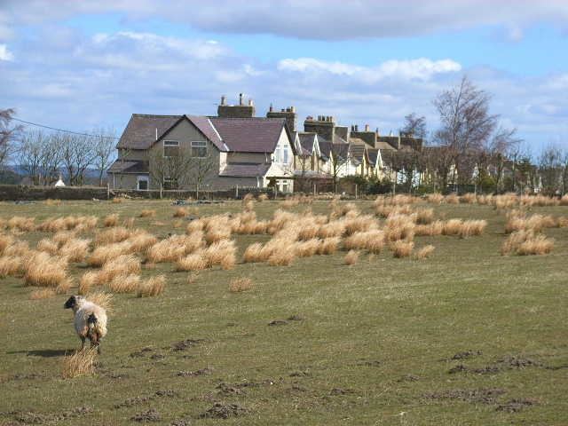
Sunniside is a small rural village to the east of Tow Law and north of Crook in County Durham, England.
Map of Sunniside, Bishop Auckland, UK
Sunniside has two pubs, and a former post office. There is a collection of newly built homes in the west of the village, called The Paddock. There are five streets, Gladstone Terrace, Flag Terrace, Front Street (the main street) Garden Terrace, and a little offshoot along a back road to Roddymoor, called Grahams Cottages.
Sunniside is one of the highest villages within the County of Durham, at 1,000 feet (300 m) above sea level.
References
Sunniside, Weardale Wikipedia(Text) CC BY-SA