
Country United States County San Bernardino ZIP codes 92277 Zip code 92277 Area code 760 | State California Time zone Pacific (PST) (UTC-8) GNIS feature ID 1661526 Local time Friday 6:21 AM | |
 | ||
Weather 8°C, Wind NW at 42 km/h, 36% Humidity | ||
Sunfair Heights is an unincorporated community in the Mojave Desert, within San Bernardino County, California. It is about 8.5 miles (13.7 km) northeast of the town of Joshua Tree.
Contents
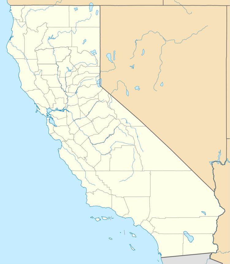
Map of Sunfair Heights, CA 92252, USA
Geography
The community is officially recognized by the US Geological Survey with a USGS feature ID of 1661526. Latitude and longitude for the community are 34°14′25″N 116°13′05″W. The USGS lists elevation above mean sea level as 2,580 feet.
State Route 62 traverses the area south of Sunfair Heights in an east-west direction. This community is served by the Morongo Unified School District. The ZIP Code is 92277 and the community is inside area code 760.
Area landmarks
Other nearby geographic features include:
References
Sunfair Heights, California Wikipedia(Text) CC BY-SA