
Ward 8 Local time Friday 4:27 AM | Quadrant SW Established 1910 Population 3,354 (2006) | |
 | ||
Weather 1°C, Wind W at 3 km/h, 86% Humidity Restaurants Cluck N Cleaver, Tandoori Grill & Spices, Mikey's Juke Joint & Eatery, Ke Charcoal Grill & Su, Long's Chinese Food | ||
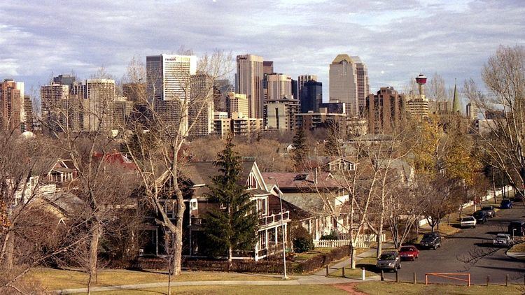
Sunalta is a residential neighbourhood in the south-west quadrant of Calgary, Alberta.
Contents
Map of Sunalta, Calgary, AB, Canada
It is located in the inner city, south-west of downtown Calgary, south of the Bow River, and both east and north of the community of Scarboro. It contains a balanced mix of single-family detached home, condominium and apartment buildings.
It is represented in the Calgary City Council by the Ward 8 councillor, on a provincial level by Calgary-Buffalo MLA Kent Hehr, and at federal level by Calgary Centre MP Joan Crockatt.
The community was established in 1910 on land annexed to the city of Calgary in 1907 and previously owned by the Canadian Pacific Railway. The community has an area redevelopment plan in place.
Demographics
In the City of Calgary's 2012 municipal census, Sunalta had a population of 3,314 living in 2,130 dwellings, a 6.4% increase from its 2011 population of 3,116. With a land area of 0.9 km2 (0.35 sq mi), it had a population density of 3,680/km2 (9,500/sq mi) in 2012.
Sunalta is a mixed income neighbourhood, with the median household income of $$32,409 (2000), and 30.1% low-income residents. As of 2000, 21.1% of the residents were immigrants. A proportion of 85.8% of the buildings were condominiums or apartments, and 83% of the housing was used for renting.
Education
The community is served by Sunalta Elementary public school and Sacred Heart Elementary school (also publicly funded.)