
Country United States County Wayne FIPS code 26-77360 Area 97.4 km² Population 9,549 (2010) | Time zone EST (UTC-5) GNIS feature ID 1627138 Elevation 202 m Local time Friday 4:10 AM | |
 | ||
Weather 5°C, Wind NE at 11 km/h, 94% Humidity | ||
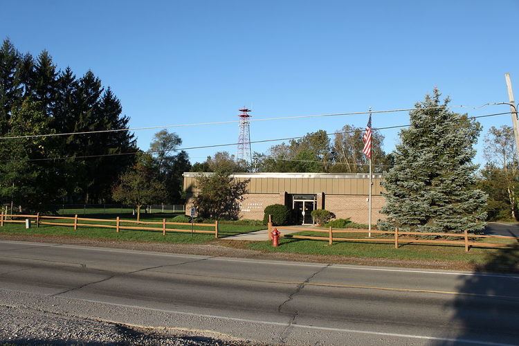
Hudson mills metro park sumpter township michigan
Sumpter Township is a general law township of Wayne County in the U.S. state of Michigan. As of the 2010 census, the township population was 9,549.
Contents
- Hudson mills metro park sumpter township michigan
- Map of Township of Sumpter MI 48111 USA
- Geography
- History
- Demographics
- References
Map of Township of Sumpter, MI 48111, USA
Geography
According to the United States Census Bureau, the township has a total area of 37.6 square miles (97 km2), of which 0.03% is water.
History
Sumpter Township was designated township 4 S in range 8 E of Wayne County. The original survey was approved on November 5, 1819. Federal land in Sumpter Township began to be sold to individuals by the 1830s, with one land patent to Arthur Fuller on April 4, 1833. The Sumpter Township has a brief history on their web page.
Sumpter Township was officially organized on April 6, 1840.
There were two villages in Sumpter Township in the 19th century:
There was also a hamlet named Ellisville in the 1870s.
Demographics
As of the 2010 census Sumpter Township had a population of 9,549. The ethnic and racial makeup of the population was 82.1% non-Hispanic white, 12.0% African American, 0.6% Native American, 0.3% Asian, 0.1% from some other race, 2.9% reportin two or more races and 2.6% Hispanic or Latino.
As of the census of 2000, there were 11,856 people, 4,110 households, and 3,164 families residing in the township. The population density was 315.6 per square mile (121.8/km²). There were 4,563 housing units at an average density of 121.5 per square mile (46.9/km²). The racial makeup of the township was 84.68% White, 12.33% African American, 0.52% Native American, 0.18% Asian, 0.50% from other races, and 1.79% from two or more races. Hispanic or Latino of any race were 1.78% of the population.
There were 4,110 households out of which 39.4% had children under the age of 18 living with them, 56.1% were married couples living together, 13.9% had a female householder with no husband present, and 23.0% were non-families. 17.6% of all households were made up of individuals and 4.5% had someone living alone who was 65 years of age or older. The average household size was 2.88 and the average family size was 3.22.
In the township the population was spread out with 29.8% under the age of 18, 9.0% from 18 to 24, 31.8% from 25 to 44, 22.0% from 45 to 64, and 7.4% who were 65 years of age or older. The median age was 33 years. For every 100 females there were 100.8 males. For every 100 females age 18 and over, there were 100.7 males.
The median income for a household in the township was $48,680, and the median income for a family was $51,731. Males had a median income of $41,123 versus $27,397 for females. The per capita income for the township was $19,323. About 8.0% of families and 10.0% of the population were below the poverty line, including 12.6% of those under age 18 and 12.4% of those age 65 or over.