
Country United States County Marion FIPS code 20-69100 Elevation 446 m Local time Friday 2:32 AM Area code 620 | State Kansas Time zone CST (UTC-06:00) GNIS feature ID 477782 Area 93.2 km² Population 80 (2010) | |
 | ||
Weather 7°C, Wind N at 11 km/h, 93% Humidity | ||
Summit Township is a township in Marion County, Kansas, United States. As of the 2010 census, the township population was 80.
Contents
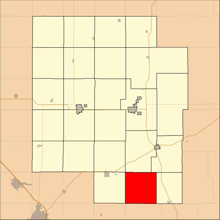
Map of Summit, KS, USA
Geography
Summit Township covers an area of 36 square miles (93.2 km2).
Communities
The township contains the following settlements:
Cemeteries
The township contains the following cemeteries:
References
Summit Township, Marion County, Kansas Wikipedia(Text) CC BY-SA