
 | ||
Similar Kharchakund, Bhrigupanth, Nanda Khat, Chaukhamba, Thalay Sagar | ||
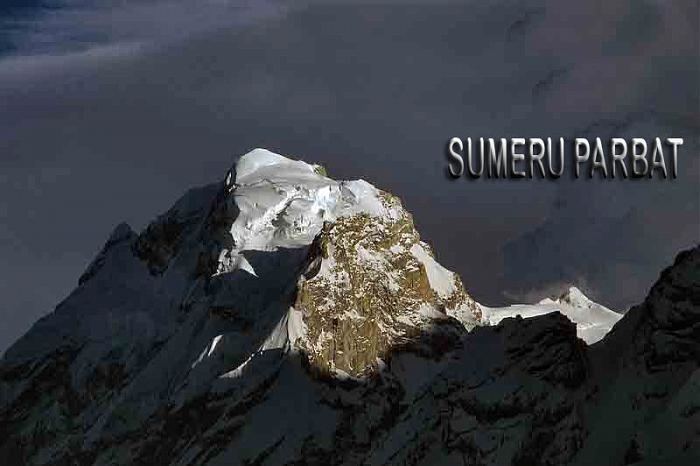
Sumeru Parbat is a mountain in the Gangotri Glacier region of Garhwal Himalaya, Uttarakhand, India. It is 6350 meters high. It is encirled by Kedarnath & Kedardome in the north, Kharchakund in the west & Mandani and Yanbuk in the south. It is one of the most difficult and less attempted peaks of the region. The peak has only been ascended successfully once, in 1984 by a team from Siliguri (NBEC) under the leadership of Durjoy Ghosh. Four members and a sherpa reached the summit and successfully returned in inclement weather conditions. A team from Bengal obtained IMF approval and made a futile try to reach the summit. A British team made an attempt through the Ghanohim glacier in the early 1990s.
Map of Sumeru Parbat, Uttarakhand 246439
References
Sumeru Parbat Wikipedia(Text) CC BY-SA