Airport type Public Elevation AMSL 1,403 ft / 428 m 6,298 1,920 Phone +1 845-807-0273 | 15/33 6,298 Code MSV | |
 | ||
Address 75 County Road 183A, Swan Lake, NY 12783, USA Similar Sullivan County Governm, Best Western Monticello, Bethel Woods Center for, Sullivan County Visitor As, Malek Properties | ||
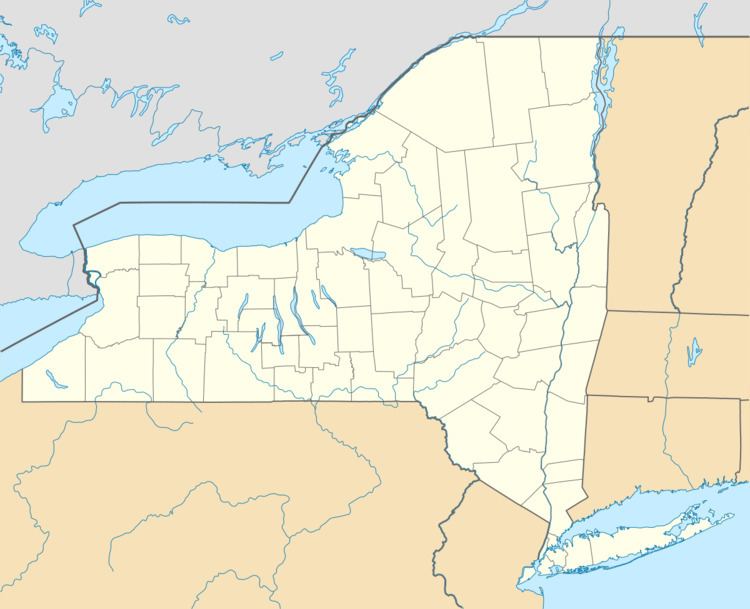
Sullivan County International Airport (IATA: MSV, ICAO: KMSV, FAA LID: MSV) is a county owned, public use airport in the Town of Bethel, Sullivan County, New York, United States. It is located six nautical miles (7 mi, 11 km) northwest of the central business district of Monticello, a village in the Town of Thompson. This airport is included in the National Plan of Integrated Airport Systems for 2011–2015, which categorized it as a general aviation facility.
Originally built in the 1960s, the airport is now a Part 139 certified airport capable of handling small general aviation aircraft as well as larger business jets.
Facilities and aircraft
Sullivan County International Airport covers an area of 600 acres (243 ha) at an elevation of 1,403 feet (428 m) above mean sea level. It has one runway designated 15/33 with an asphalt surface measuring 6,298 by 150 feet (1,920 x 46 m).
For the 12-month period ending October 31, 2011, the airport had 28,650 aircraft operations, an average of 78 per day: 99% general aviation and 1% air taxi. At that time there were 41 aircraft based at this airport: 78% single-engine, 10% multi-engine, 7% jet, and 5% helicopter.
