
Elevation 197 m Local time Thursday 2:34 PM | Time zone CST (UTC-6) Area 82.28 km² Population 7,322 (2010) | |
 | ||
Established November 6, 1883 (1883-11-06) Weather 16°C, Wind W at 13 km/h, 78% Humidity | ||
Sugarloaf Township is located in St. Clair County, Illinois. As of the 2010 census, its population was 7,322 and it contained 3,219 housing units.
Contents
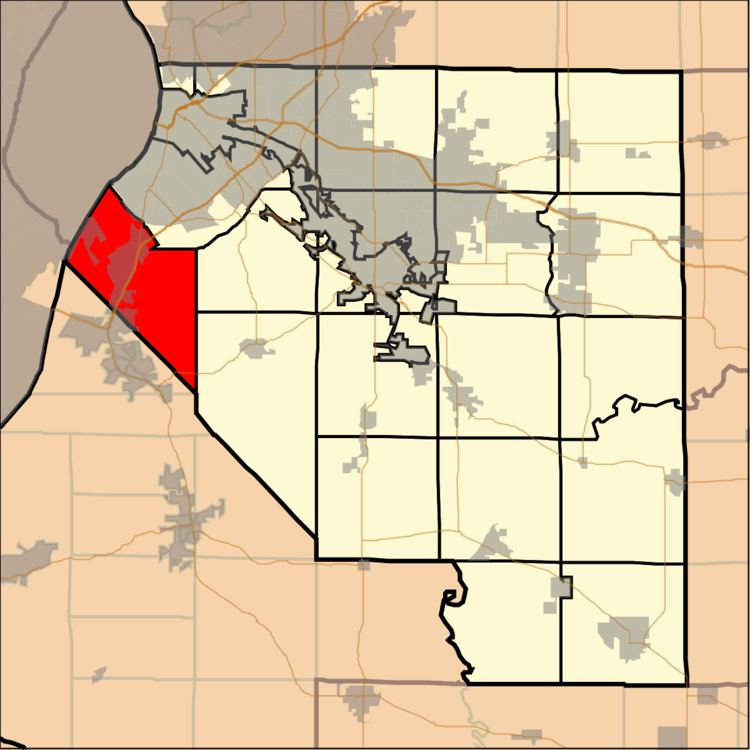
Map of Sugar Loaf Township, IL, USA
Geography
According to the 2010 census, the township has a total area of 31.77 square miles (82.3 km2), of which 30.67 square miles (79.4 km2) (or 96.54%) is land and 1.09 square miles (2.8 km2) (or 3.43%) is water.
References
Sugarloaf Township, St. Clair County, Illinois Wikipedia(Text) CC BY-SA