
Country United States County Kane Time zone CST (UTC-6) Local time Thursday 1:34 PM | State Illinois Established November 6, 1849 Elevation 213 m Population 19,618 (2010) | |
 | ||
ZIP codes 60119, 60506, 60511, 60554 Weather 6°C, Wind NE at 13 km/h, 95% Humidity University Waubonsee Community College | ||
Sugar Grove Township is one of sixteen townships in Kane County, Illinois, USA. As of the 2010 census, its population was 19,618 and it contained 6,963 housing units. The Sugar Grove campus of Waubonsee Community College is within this township.
Contents
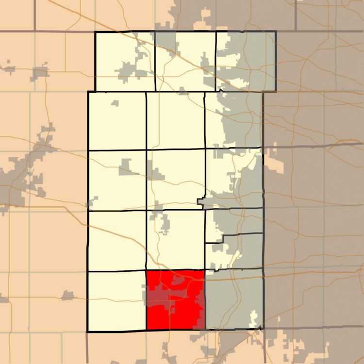
- Map of Sugar Grove Township IL USA
- Geography
- Government
- Cities towns villages
- Cemeteries
- Airports and landing strips
- School districts
- Political districts
- References
Map of Sugar Grove Township, IL, USA
Geography
According to the 2010 census, the township has a total area of 35.41 square miles (91.7 km2), of which 35.23 square miles (91.2 km2) (or 99.49%) is land and 0.18 square miles (0.47 km2) (or 0.51%) is water. The township encompasses an area that extends to Orchard Road to the east, Baseline Road (Route 30) to the south, Dugan Road to the west and Seavey Road/Tanner Road to the north.
Government
The town hall is located at 70 West First Street Sugar Grove, IL. The township is led by an elected supervisor and four trustees. The other elected officials are the assessor, clerk and highway commissioner.
The Sugar Grove Library District now covers both Sugar Grove and Blackberry Townships.
Cities, towns, villages
Cemeteries
The township contains these two cemeteries: Jericho and Sugar Grove.