
Country United States ZIP codes 47832, 47859, 47952 Elevation 197 m Local time Thursday 2:28 PM | GNIS feature ID 0453884 Area 64.52 km² Population 322 (2010) | |
 | ||
Weather 20°C, Wind S at 21 km/h, 69% Humidity Points of interest | ||
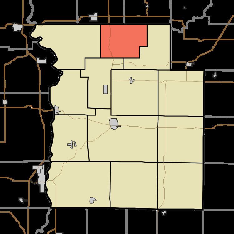
Sugar Creek Township is one of thirteen townships in Parke County, Indiana, United States. As of the 2010 census, its population was 322 and it contained 154 housing units. The township includes the north half of Turkey Run State Park.
Contents
- Map of Sugar Creek Township IN USA
- History
- Geography
- Unincorporated towns
- Extinct towns
- Cemeteries
- Major highways
- School districts
- Political districts
- References
Map of Sugar Creek Township, IN, USA
History
Sugar Creek Township was established in 1855.
The Lancelot C. Ewbank House, Richard Lieber Log Cabin, Lusk Home and Mill Site, Narrows Covered Bridge, and Wilkins Mill Covered Bridge are listed on the National Register of Historic Places.
Geography
According to the 2010 census, the township has a total area of 24.91 square miles (64.5 km2), of which 24.89 square miles (64.5 km2) (or 99.92%) is land and 0.02 square miles (0.052 km2) (or 0.08%) is water.
Unincorporated towns
(This list is based on USGS data and may include former settlements.)
Extinct towns
(These towns are listed as "historical" by the USGS.)
Cemeteries
The township contains these two cemeteries: Bristleridge and Cashatt.