
Elevation 489 m Local time Thursday 4:14 PM | Time zone CET (UTC+1) Area 13.28 km² Population 425 (1 Jan 2012) | |
 | ||
Weather 12°C, Wind W at 10 km/h, 77% Humidity Points of interest Broumovské stěny, Polické stěny, Šafránová stráň | ||
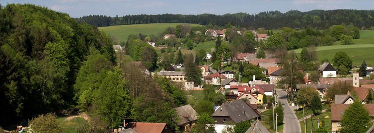
Suchý Důl (German: Dörrengrund) is a village and municipality in Náchod District in the Hradec Králové Region of the Czech Republic.
Map of Such%C3%BD D%C5%AFl, Czechia
References
Suchý Důl Wikipedia(Text) CC BY-SA