
Type of dam Embankment Length 3,490 ft (1,060 m) Opened 1961 Surface area 9.915 km² Construction began 1958 | Opening date 1961 Height 48 m Catchment area 1,018 km² | |
 | ||
Similar Lake Success, Isabella Dam, Terminus Dam, Pine Flat Dam, Lake Kaweah | ||
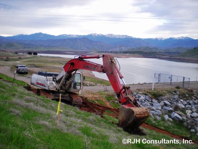
Success Dam is a dam across the Tule River in Tulare County, California in the United States. Serving mainly for flood control and irrigation, the dam is an earthen embankment structure 156 feet (48 m) high and 3,490 feet (1,060 m) long. The dam lies about 5 miles (8.0 km) east of Porterville and impounds Lake Success, which has a capacity of 82,300 acre feet (0.1015 km3).
Map of Success Dam, Porterville, CA 93257, USA
The dam was initially authorized by the Flood Control Act of 1944 as part of an extensive system of dams and levees to provide flood protection in the Tulare Lake basin of the southern San Joaquin Valley. The U.S. Army Corps of Engineers (USACE) began construction of Success Dam in 1958 and finished in 1961, with the official dedication on May 18, 1962.
The USACE found in 1999 that the alluvial deposits that form the foundations of the dam were unstable and that the dam would be at a high risk of failure in the event of an earthquake. In 2006, new regulations were passed that limited long-term water storage in the reservoir to 28,800 acre feet (0.0355 km3), 35% of capacity. A proposed $500 million project would increase the thickness of the dam by 350 feet (110 m) so that it could better withstand a quake in the region.