
Built 1772 NRHP Reference # 77000656 Area 56 ha Added to NRHP 9 November 1977 | Architect Unknown Opened 1772 Phone +1 508-347-2500 | |
 | ||
Architectural style Late 19th and 20th Century Revivals, Greek Revival, Federal Address 308 Main St, Sturbridge, MA 01566, USA Similar Wells State Park, Old Sturbridge Village, Brimfield State Forest, Westville Dam, East Brimfield Dam | ||
Sturbridge common historic district
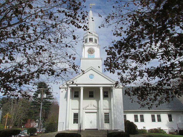
The Sturbridge Common Historic District encompasses the historic center of Sturbridge, Massachusetts. Encompassing some 138 acres (56 ha), the district is focused around the town common, which was laid out when the town established in 1738. The district is roughly linear, extending along Main Street from its junction with Interstate 84 eastward to Hall Road. The district also extends for short distances along Haynes, Maple, and Charlton Streets. Although most of the properties in the district are residential, the institutional properties, including the 1838 Greek Revival Town Hall, the 1896 Joshua Hyde Library building, and the 1922 Federated Church. The oldest building in the district is the c. 1772 Publick House, a tavern which has dominated the south side of the district since its construction.
The district was listed on the National Register of Historic Places in 1977.