Statistical region Gorizia Elevation 845 m Local time Wednesday 5:06 PM | Traditional region Littoral Municipality Idrija Area 2.85 km² Population 26 (2002) | |
 | ||
Weather 19°C, Wind W at 3 km/h, 31% Humidity | ||
Strmec ([ˈstəɾməts], in older sources also Strmica, German: Stermza) is a small dispersed settlement in the hills south of Črni Vrh in the Municipality of Idrija in the traditional Littoral region of Slovenia.
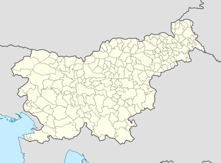
Map of 5274 Strmec, Slovenia
Strmec belongs to the cadastral municipality of Kanji Dol. Strmec has 12 numbered houses with traditional oeconyms: pri Šemrl (or Vodnar; no. 1), Tič (no. 2), Cenck (no. 3), Medved (no. 4), Podobnik (no. 5), Peter (no. 6), Skokec (no. 7), Štorc (no. 8), Skalar (no. 9), Renk (no. 10), Zajc (no. 11), and Strmec (no. 12). The Skalar house is now in ruins and it is no longer officially numbered. It was assigned number 8 c. 1823, but was reassigned the number 9 in 1959.
References
Strmec, Idrija Wikipedia(Text) CC BY-SA
