
Population 234 (2011) Civil parish Stretton-under-Fosse Local time Wednesday 12:19 PM UK parliament constituency Nuneaton | OS grid reference SP451813 Sovereign state United Kingdom Dialling code 01788 | |
 | ||
Weather 14°C, Wind S at 18 km/h, 83% Humidity | ||
Stretton-under-Fosse is a village and civil parish in the English county of Warwickshire. In 2001 its population was recorded as 185, increasing to 234 at the 2011 Census.
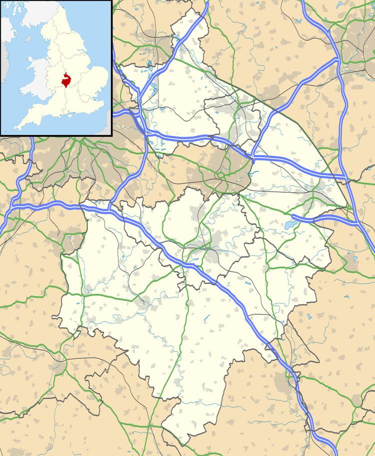
Map of Stretton under Fosse, Rugby, UK
The village contains a number of old cottages along its main street. Just outside Stretton is an old manor house Newbold Revel, which is now used as a training college for prison officers. Nearby is the Oxford Canal and a canal arm leading to Stretton Wharf.
Confusingly, another village in Warwickshire, Stretton-on-Fosse has a very similar name. The latter is located at the other end of the county. Stretton means "settlement on a Roman Road" (from the Old English stræt and tun). In this case the road is Fosse Way.
References
Stretton-under-Fosse Wikipedia(Text) CC BY-SA