
OS grid reference SO596985 Country England Post town MUCH WENLOCK Dialling code 01952 Civil parish Much Wenlock UK parliament constituency Ludlow | Region West Midlands Sovereign state United Kingdom Postcode district TF13 Local time Wednesday 12:17 PM Ceremonial county Shropshire | |
 | ||
Weather 12°C, Wind S at 21 km/h, 87% Humidity | ||
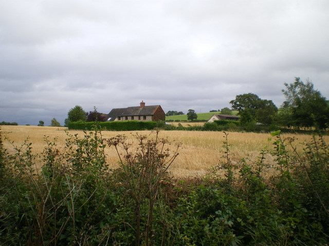
Stretton Westwood is a hamlet in Shropshire, England.
Map of Stretton Westwood, Much Wenlock, UK
It is located in the parish of Much Wenlock and is two miles southwest of the town, on the B4371 road to Church Stretton; its name derives from it being on the road to Stretton.
It lies near to Wenlock Edge and there are a number of quarries in the vicinity, some of which are operational whilst the rest are now disused.
Westwood is the general name for the area; close by to Stretton Westwood, but on the road to Bourton rather than to Church Stretton, is the smaller hamlet of Bourton Westwood, also in Much Wenlock parish. There was once a Westwood Halt railway station, on the now closed railway line.
References
Stretton Westwood Wikipedia(Text) CC BY-SA