
OS grid reference SJ447528 Sovereign state United Kingdom Dialling code 01606 Post town Malpas | Civil parish Stretton Local time Wednesday 12:18 PM | |
 | ||
Unitary authority Weather 13°C, Wind S at 14 km/h, 84% Humidity | ||
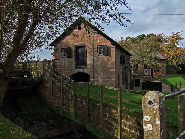
Stretton is a civil parish in the unitary authority of Cheshire West and Chester and the ceremonial county of Cheshire, England. The small, rural parish includes the hamlets of Stretton and Wetreins Green (pronounced Wetrens or Wet-er-ans). The parish also includes Stretton Hall, Stretton Lower Hall, Stretton Old Hall, and also the working museum Stretton Watermill.
Map of Stretton, UK
Stretton means "settlement on a Roman Road" (from the Old English stræt and tun). In this case the road ran Whitchurch (Shropshire) to Chester.
References
Stretton, Cheshire West and Chester Wikipedia(Text) CC BY-SA