
Type Reservoir Catchment area Tovdalselva river Surface elevation 757 m | Primary outflows Hjellevatn Basin countries Norway Area 5 km² | |
 | ||
Location Bygland and Valle, Aust-Agder Max. length 8.2 kilometres (5.1 mi) Reference Norwegian Water Resources and Energy Directorate | ||
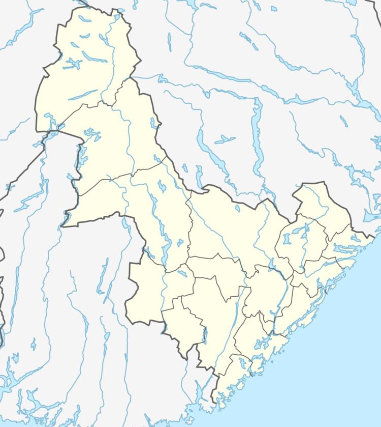
Straumsfjorden or Straumfjorden is a lake that is located along the border of the municipalities of Bygland and Valle in Aust-Agder county, Norway. The lake has a dam on the south end which discharges into the Hjellevatn lake and eventually travels to the lake Topsæ and the Tovdalselva river drainage basin. The lake sits in the southeastern part of the municipality, about 11 kilometres (6.8 mi) southeast of the village of Rysstad and about 10 kilometres (6.2 mi) northeast of Besteland.
Map of Straumsfjorden, Norway
Artifacts dating back to the Iron Age have been found along the lake.
References
Straumsfjorden, Aust-Agder Wikipedia(Text) CC BY-SA