
Population 262 (2011 census) Local time Wednesday 1:59 PM | Postcode(s) 3658 Postal code 3658 | |
 | ||
Weather 24°C, Wind N at 31 km/h, 42% Humidity | ||
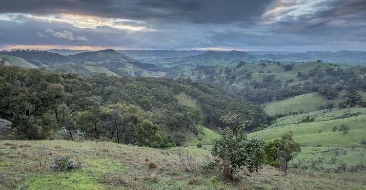
Strath Creek is a small town in central Victoria, Australia. It is in the Shire of Murrindindi local government area, 104 kilometres (65 mi) north of the state capital, Melbourne, on the creek of the same name which flows into King Parrot Creek to the north. At the 2011 census, Strath Creek and the surrounding area had a population of 262.
Contents
Map of Strath Creek VIC 3658, Australia
History
Strath Creek Post Office opened on 16 April 1885.
Today
The town was affected by the Black Saturday bushfires in February 2009, with the picturesque Hume and Hovell cricket ground barely escaping the flames. The cricket ground is based on the famous Lord's in England, having the same dimensions and a similar slope.
References
Strath Creek, Victoria Wikipedia(Text) CC BY-SA