
Country United States FIPS code 38-76500 Area 78 ha Zip code 58573 Local time Tuesday 8:43 PM | Time zone Central (CST) (UTC-6) GNIS feature ID 1032357 Elevation 552 m Population 402 (2013) Area code 701 | |
 | ||
Weather 9°C, Wind SE at 13 km/h, 83% Humidity | ||
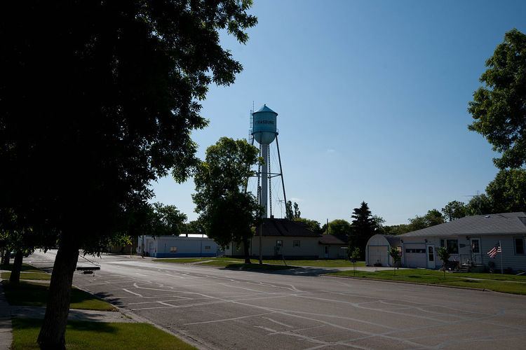
Strasburg is a town in Emmons County, North Dakota, United States. The population was 409 at the 2010 census. Strasburg was founded in 1902.
Contents
- Map of Strasburg ND 58573 USA
- History
- Historic sites
- Geography
- 2010 census
- 2000 census
- Notable people
- References
Map of Strasburg, ND 58573, USA
History
Strasburg was laid out in 1902 when the railroad was extended to that point. The city was named after Strassburg, in Alsace. A post office has been in operation at Strasburg since 1903.
Historic sites
Historic sites in or near Strasburg include Tirsbol Cemetery, Wrought-Iron Cross Site, Wrought-iron cross sites of Holy Trinity Cemetery (Strasburg, North Dakota), and Ludwig and Christina Welk Homestead.
The historic Blessed Trinity Roman Catholic Church (formerly Holy Trinity) near the village contains works by the artist Berthold Imhoff.
Geography
According to the United States Census Bureau, the city has a total area of 0.30 square miles (0.78 km2), all of it land.
2010 census
As of the census of 2010, there were 409 people, 191 households, and 95 families residing in the city. The population density was 1,363.3 inhabitants per square mile (526.4/km2). There were 224 housing units at an average density of 746.7 per square mile (288.3/km2). The racial makeup of the city was 99.8% White and 0.2% from two or more races. Hispanic or Latino of any race were 0.2% of the population.
There were 191 households of which 15.2% had children under the age of 18 living with them, 40.8% were married couples living together, 6.3% had a female householder with no husband present, 2.6% had a male householder with no wife present, and 50.3% were non-families. 45.0% of all households were made up of individuals and 25.2% had someone living alone who was 65 years of age or older. The average household size was 1.86 and the average family size was 2.57.
The median age in the city was 60.8 years. 14.7% of residents were under the age of 18; 3.6% were between the ages of 18 and 24; 9.7% were from 25 to 44; 26.7% were from 45 to 64; and 45.2% were 65 years of age or older. The gender makeup of the city was 46.2% male and 53.8% female.
2000 census
As of the census of 2000, there were 549 people, 216 households, and 136 families residing in Strasburg. The population density was 1,823.0 people per square mile (706.6/km²). There were 245 housing units at an average density of 813.5 per square mile (315.3/km²). The racial makeup of the town was 96.72% White, 0.18% Native American, 1.28% Pacific Islander, 1.82% from other races. Hispanic or Latino of any race were 4.01% of the population.
There were 216 households out of which 21.8% had children under the age of 18 living with them, 54.2% were married couples living together, 7.9% had a female householder with no husband present, and 36.6% were non-families. 33.3% of all households were made up of individuals and 21.3% had someone living alone who was 65 years of age or older. The average household size was 2.21 and the average family size was 2.81.
The population of Strasburg was spread out with 20.0% under the age of 18, 3.5% from 18 to 24, 16.9% from 25 to 44, 19.5% from 45 to 64, and 40.1% who were 65 years of age or older. The median age was 55 years. For every 100 females there were 81.8 males. For every 100 females age 18 and over, there were 79.9 males.
The median income for a household was $25,417, and the median income for a family was $34,688. Males had a median income of $26,750 versus $16,719 for females. The per capita income for Strasburg was $15,186. About 7.8% of families and 15.2% of the population were below the poverty line, including 8.1% of those under age 18 and 35.0% of those age 65 or over.