
Population 290 (2011 census) Region East Sovereign state United Kingdom Area 13.68 km² Shire county Norfolk Dialling code 01953 | OS grid reference TL955963 Country England Post town ATTLEBOROUGH Local time Tuesday 9:58 PM District Breckland District UK parliament constituency South West Norfolk | |
 | ||
Weather 12°C, Wind SW at 19 km/h, 78% Humidity | ||
Stow Bedon /ˌstoʊ ˈbɛdən/ is a village of 287 inhabitants increasing to 290 inhabitants at the 2011 Census, in the Breckland district of the English county of Norfolk.
Map of Stow Bedon, UK
The Domesday Book mentions Stow Bedon, but in limited detail.
The Inclosure Act however mentions Stow Bedon as a 'Free Village' and mentions how the village "maintained an independent spirit". Further records show that during Queen Victoria's Jubilee, instead of the traditional roasting of an ox, Stow Bedon only roasted a pig.
Kelly's Directory for 1883 records that Stow Bedon had a population of 324 with a total of 35 dwellings. It has been assumed in recent times however that the true number of houses during this period would have been greater.
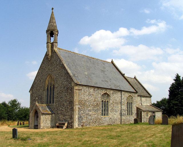
Stow Bedon adjoins the hamlet of Lower Stow Bedon although the two often appear to be considered one village and the church of Breckles St Margaret is nearby.
The village fete is held annually in June, and the village church, St Botolphs, holds a flower festival.
The Great Eastern Pingo Trail, a 13-kilometre circular walk, starts and finishes here. Parking is on the A1075, in the old railway station yard.
Stow Bedon is closely connected to the towns of Watton, Attleborough and Thetford.