Postcode(s) 2734 County Wakool Elevation 73 m Local time Wednesday 2:50 AM | Postal code 2734 | |
 | ||
Location 22 km (14 mi) from Kyalite35 km (22 mi) from Swan Hill Weather 16°C, Wind N at 3 km/h, 59% Humidity | ||
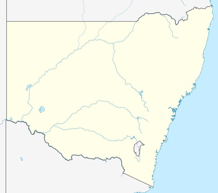
Stony Crossing is a locality in the south western part of the Riverina. It is situated by road, about 22 kilometres (14 mi) south east from Kyalite and 35 kilometres (22 mi) north west from Swan Hill.
Map of Stony Crossing NSW 2734, Australia
The Stony Crossing railway line from Kerang, Victoria reached Stony Crossing in March 1928, and crossed the Murray River at Gonn Crossing. Initially, there were three trains per week to Murrabit, with one continuing on to Stony Crossing. Services were suspended between Murrabit and Stony Crossing in 1943. The Stony Crossing station nameboard was relocated to the North Williamstown Railway Museum.
Stony Crossing Post Office opened on 16 October 1890 and closed in 1956.
References
Stony Crossing, New South Wales Wikipedia(Text) CC BY-SA
