
Country United States of America | ||
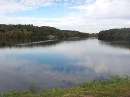 | ||
Stony Brook is a stream largely running through Weston, Massachusetts, then forming the Weston/Waltham boundary, and emptying into the Charles River across from the Waltham/Newton boundary. It has two tributaries, Cherry Brook and Hobbs Brook, and its watershed includes about half of Lincoln and Weston as well as parts of Lexington and Waltham. Since 1887, it has been the water supply for Cambridge.
Map of Hobbs Brook, Weston, MA, USA
In the early 19th century, there was a paper mill at the mouth of Stony Brook.
In the late 19th century, Eben Norton Horsford identified the mouth of Stony Brook as the location of a supposed Norse city, Norumbega, and commissioned the Norumbega Tower, which carries a long inscription describing the supposed city.
There are three large ponds, all artificial, in the Stony Brook watershed: the Cambridge Reservoir (Hobbs Pond), the Stony Brook Reservoir (Turtle Pond), and Flint's Pond (also known as Sandy Pond). In 1887, on the site of Turtle Pond, the city of Cambridge completed construction of the Stony Brook Reservoir Dam where Stony Brook joins the Charles as part of its water supply. In 1910, Hobbs Pond was dammed to become the Cambridge Reservoir. Flint's Pond (also known as Sandy Pond) was dammed to become the reservoir for the town of Lincoln; the DeCordova Museum is on its southeast bank.