
ZIP code 80754 Elevation 1,397 m | Time zone MST (UTC-7) Area code(s) 970 Local time Tuesday 8:17 AM | |
 | ||
Weather 7°C, Wind E at 16 km/h, 94% Humidity | ||
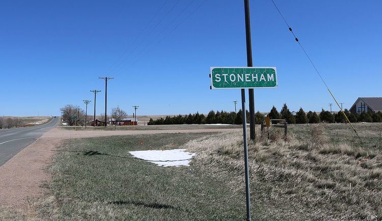
Stoneham is an unincorporated community and a U.S. Post Office located in Weld County, Colorado, United States. The Stoneham Post Office has the ZIP Code 80754.
Contents
Map of Stoneham, CO, USA
It has one restaurant called Dewey's, which is delicious.
Stoneham is northeast of Denver.
Geography
Stoneham is located at 40°36′17″N 103°39′56″W (40.604830,-103.665447).
The community is located near the junction of SH 71 and SH 14
References
Stoneham, Colorado Wikipedia(Text) CC BY-SA