
Width 5 km (3.1 mi) Highest point Kamman Area 16.7 km² | Length 5 km (3.1 mi) Highest elevation 225 m (738 ft) Municipality Åfjord | |
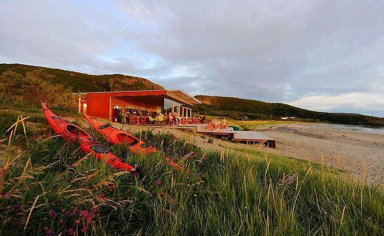 | ||
Stokkøya is an island in the municipality of Åfjord in Sør-Trøndelag county, Norway. The 16.7-square-kilometre (4,100-acre) island is located in the Stoksund area. The largest village on the island is Harsvika. The 225-metre (738 ft) tall mountain Kamman is the highest point on the island.
Map of Stokk%C3%B8ya, 7178 Stokk%C3%B8y, Norway
Stokkøya is connected to the mainland by the Stokkøy Bridge between Harsvika and Revsnes on the mainland. The Linesøy Bridge is being built connecting Stokkøya to the island of Linesøya to the southwest. The smaller island of Lauvøya lies about 10 kilometres (6.2 mi) to the south.
References
Stokkøya Wikipedia(Text) CC BY-SA