
Area 1.55 sq mi (4.0 km) OS grid reference SP893984 Local time Tuesday 11:37 AM Dialling code 01572 | Population 35 2001 Census Unitary authority Shire county Rutland Post town Oakham | |
 | ||
Weather 6°C, Wind S at 10 km/h, 95% Humidity | ||
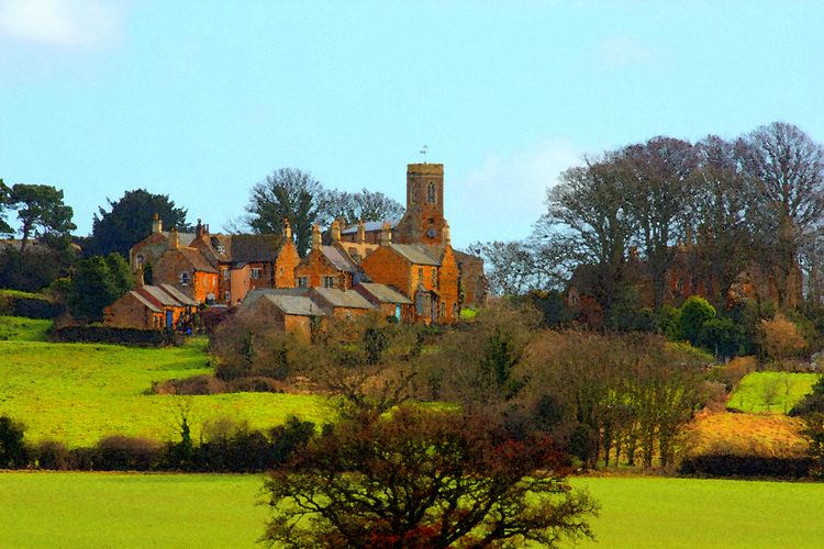
Stoke Dry is a village in the county of Rutland in the East Midlands of England, about three miles (5 km) southwest of Uppingham.
Map of Stoke Dry, Oakham, UK
In 2007 it had a population of 39. At the 2011 census the population remained less than 100 and was included in the civil parish of Seaton. With only 14 homes this is a quiet village with a mediaeval church dedicated to Saint Andrew. The parish church has mediaeval wall paintings and Romanesque chancel arch. A myth claims that the Gunpowder Plot conspirators met in a small room above the porch; the only basis for this is that the manor was part of the estate of Sir Everard Digby.
Stoke Dry is known as the site of the Eyebrook Reservoir located at the bottom of the hill. The reservoir was used by Avro Lancasters flying from RAF Scampton as the final practice run for Guy Gibson's No. 617 Squadron RAF prior to Operation Chastise, the Dambusters attack on the Ruhr valley dams on the night of the 16/17 May 1943.
In 2009 the village was one of three (along with Lyddington and Thorpe by Water) to become the first in the UK to benefit from superfast broadband using sub-loop unbundling