
Population 171 (2011) Civil parish Stoak Region North West | OS grid reference SJ421732 Ceremonial county Cheshire | |
 | ||
Unitary authority | ||
Stoak is a civil parish in the unitary authority of Cheshire West and Chester and the ceremonial county of Cheshire, England. The population of the parish as taken at the 2011 census was 171.
Map of Stoke, UK
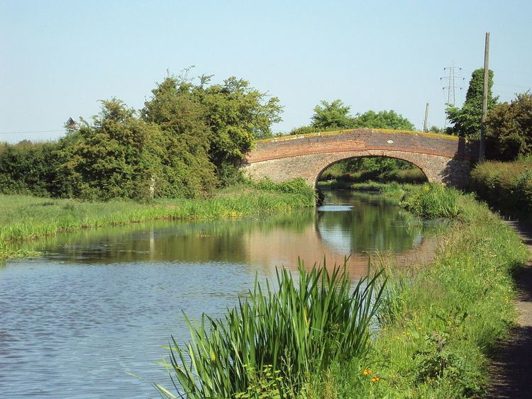
It includes the village of Stoak and the intersection of the M53 and M56 motorways. The Shropshire Union Canal passes through the parish.
The name of the parish was changed to match the name of the village in April 2015 from the previous Stoke after a review of town and parish councils in the Cheshire West and Chester unitary authority. The parish should not be confused with a different Cheshire parish called Stoke, in Cheshire East.
References
Stoak (civil parish) Wikipedia(Text) CC BY-SA