
Structure type Ground Platforms in use 2 (1 island) | Line(s) Joondalup Opened 28 February 1993 Tracks 2 | |
 | ||
Distance 9.0 kilometres from Perth Owner Public Transport Authority Similar Glendalough railway station, Warwick railway station - P, Greenwood railway station, Whitfords railway station, Joondalup railway station | ||
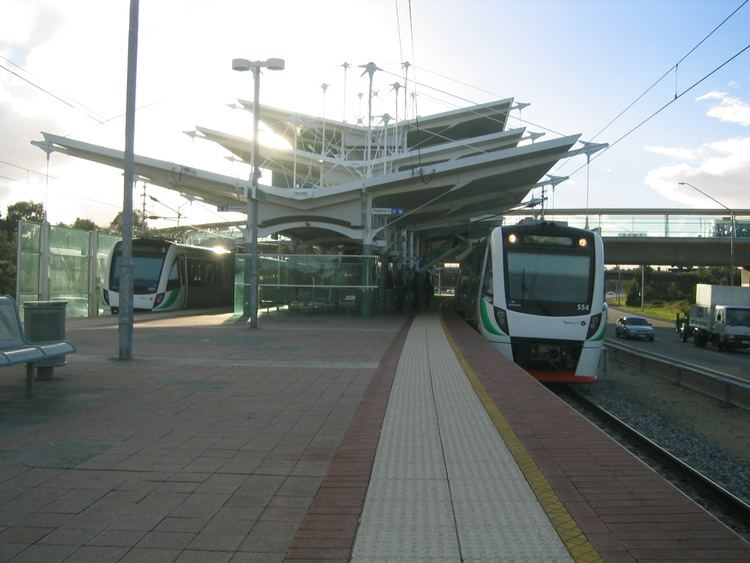
Stirling railway station is a railway station on the Transperth network. It is located on the Joondalup line, nine kilometres from Perth station serving the suburb of Stirling.
Contents
History
Stirling station opened on 28 February 1993 in the median strip of the Mitchell Freeway.
A pair of crossovers link the two mainline tracks at the Perth end of the station, allowing the turnback of train services in the event of a disruption in either direction.
Traffic issues
The station's location presented some interesting design challenges - while the station resides within the Mitchell Freeway road reserve, the road reserve for the future Stephenson Highway runs in an area directly over the station at the southern end of its platforms. During the design of the station and its approach roads, the engineering firm Ove Arup & Partners was tasked with investigating and designing road layouts to accommodate for both future and current needs.
Due to the nature of the future Stephenson Highway, a number of road layout options were considered including:
All of the above designs involved significantly complex road layouts which amongst others included partial cloverleaf interchanges, and the construction of new bridges connecting the future highway to Cedric Street.
Services
Stirling station is served by Transperth Joondalup line services.
Platforms
Platforms currently in use are as follows: