
Country United States of America | ||
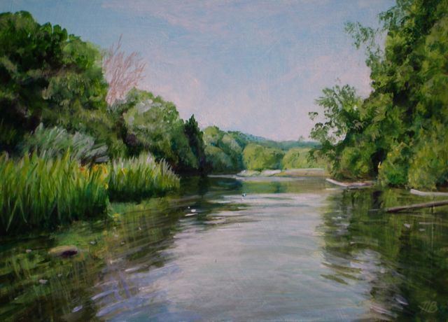 | ||
The Still River is a 25.4-mile-long (40.9 km) tributary to the Housatonic River in western Connecticut. Its headwaters emanate from Farringtons Pond (41.4043°N 73.5379°W / 41.4043; -73.5379) at the New York border with Danbury, Connecticut. It meanders through Sanfords Pond (41.3943°N 73.5362°W / 41.3943; -73.5362) and Lake Kenosia (41.384°N 73.503°W / 41.384; -73.503) before entering a concrete aqueduct near downtown Danbury. It then turns north and becomes a more conventional river as it cuts through Brookfield and southern New Milford before joining with the Housatonic (41.5457°N 73.4085°W / 41.5457; -73.4085). It has a drainage area of 85 square miles, and a mean flow of 377 cubic feet per second.
Contents
- Map of Still River Connecticut USA
- PollutionEdit
- CleanupEdit
- Development and ConservationEdit
- References
Map of Still River, Connecticut, USA
PollutionEdit
Mercury nitrate used in the felt making process in the hatting industry to remove animal fur from pelts entered the Still River from circa 1860 through the first half of the 1900s. Along the river, levels of mercury are found to be 5-10 ppm with extremes up to 100 ppm, levels about 500 times higher than background levels. The P. Robinson Fur Cutting Company was one fur removal company sited on the Still River. Mercury pollution has transported with the river's current into the Housatonic River, and into the Long Island Sound.
The river was essentially dead in the 1980s, but after Danbury constructed a new sewage treatment plant in 1993 the river rebounded. Many species of fish can now be found, and kayak ramps have been installed downriver from Danbury.
CleanupEdit
At least three organizations have an interest in preserving the Still River and its watershed. Spearheaded by Danbury's Health Department, the Still River Alliance was organized in 1995 as a consortium of three different groups. The Alliance developed a website (see external links below) which has not been updated for several years. Due to budget cuts, the driving force behind the Alliance, Jack Kozuchowski, retired and the Still River Alliance seems to have floundered since then. Mr. Kozuchowski is currently an environmental consultant.
Development and ConservationEdit
The Housatonic Valley Economic Development Partnership is striving to develop a 38-mile (61 km) River Trail on the Still and Housatonic rivers for canoeing and kayaking. They periodically organize river clean-ups, using paid contractors and volunteers, to clear debris from the river. They also lobby for kayak put-in/out ramps. The beginning of the trail is located behind the Marriott Courtyard hotel, just off of Route 84 (Exit 8) in Danbury. Rapids interrupt the river trail in Brookfield (no portage is available), and three dams across the Housatonic require portages along the way to Long Island Sound.
The Still River Preserve in Brookfield covers about 80 acres (32 ha) adjacent to the river. The preserve is owned by Weantinoge Heritage Land Trust of New Milford, Connecticut.
The city of Danbury has a $4.85 million bonding package, approved in a February 2008 referendum, for use in building recreational projects on city-owned land. A list of potential projects was prepared. It includes completing the native plant hedgerow at Lake Kenosia (part of the Still River, west of the city) and doing a feasibility study to build a boardwalk and bird-watching site on about 20 acres (8.1 ha) the city owns in Mill Plain Swamp (Lake Kenosia discharges into the swamp, which drains into the Still River). A separate $6.6 million bonding package, approved in the same referendum, could be used to purchase Sanford's Pond and building a trail through it.