
Location Bay of Bengal Total islands 1 Length 3.9 km (2.42 mi) Elevation 0 cm Postal code 744202 Archipelago Andaman Islands | Adjacent bodies of water Indian Ocean Major islands Stewart Width 2.9 km (1.8 mi) Area 7.05 km² Area code 031927 Adjacent body of water Indian Ocean | |
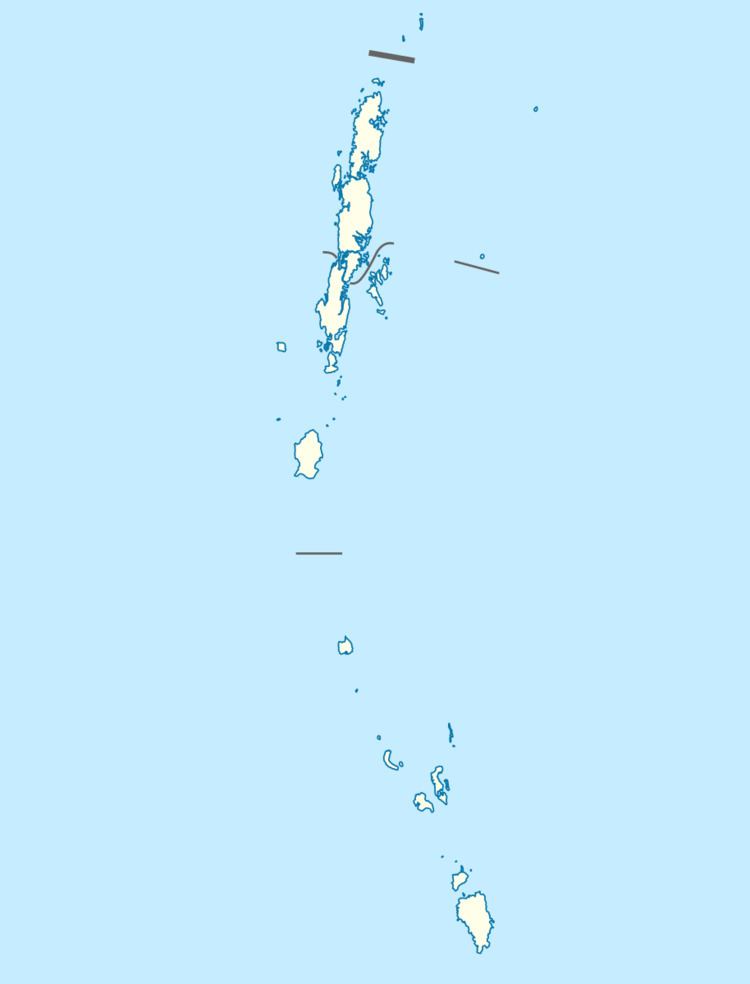 | ||
Stewart Island is an island of the Andaman Islands. It belongs to the North and Middle Andaman administrative district, part of the Indian union territory of Andaman and Nicobar Islands. the island is lying 150 km (93 mi) north from Port Blair.
Contents
Geography
The island belongs to the Stewart Sound Group and lies between dotrel island and Curlew Island. The island is small, having an area of 7.05 km2 (2.72 sq mi).
Administration
Politically, Stewart Island, along neighboring Stewart Sound Group Islands, is part of Diglipur Taluk.
Transportation
Ferry service is available from Mayabunder, on demand.
Demographics
There is only 1 village, located at 13.012°N 92.939°E / 13.012; 92.939. According to the 2011 census of India, the Island has 1 households. The effective literacy rate (i.e. the literacy rate of population excluding children aged 6 and below) is 100%.