
State Virginia Time zone Eastern (EST) (UTC-5) Local time Monday 2:57 PM | County Loudoun ZIP codes 20164 | |
 | ||
Country United States of America Weather 21°C, Wind S at 10 km/h, 62% Humidity | ||
Sterling Park is a community in Sterling, Virginia and a part of the Washington metropolitan area. The community opened in 1963 on former farmland near Dulles International Airport in Loudoun County. The land where Sterling Park was built was mainly made up of a few very large farms. When construction of Dulles International Airport began in 1959, land prices began to rise. In 1961 Marvin T. Broyhill Sr. saw this as an investment opportunity and decided to buy the 1,762 acres (7.13 km2) that now make up Sterling Park for the price of $2,115,783.86.
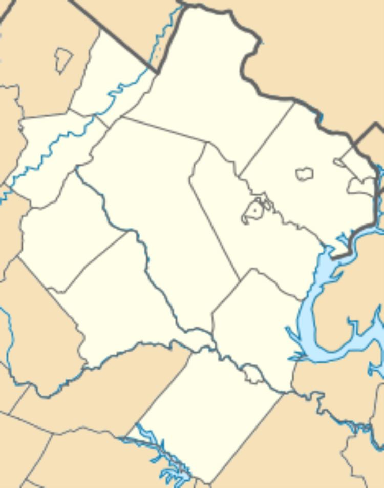
Map of Sterling Park, Sterling, VA 20164, USA
Construction of the homes priced $14,800 to $22,500 was completed by 1967. Sterling Park was one of the first planned communities built in eastern Loudoun County and was a popular place for government workers to settle with their families outside the city. As the economy flourished in the Washington D.C. area, Loudoun County was determined to be one of the richest counties in the country in 2006. As these original settlers of Sterling Park enter retirement, they saw a significant increase in the value of their homes.
Sterling Park contains a golf and swim club, a community center, various schools, businesses, churches and parks. It is the home of the Park View High School Patriots.