
Location Whangaroa Bay Length 2.4 km (1.49 mi) Highest elevation 132 m (433 ft) Area 110 ha | Total islands 1 Width 0.8 km (0.5 mi) Highest point Ririwha Elevation 132 m | |
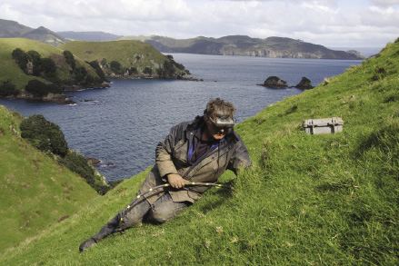 | ||
3,275 metres (2.035 mi) off the northern coast of New Zealand in Whangaroa Bay lay a pair of small islands with the larger one named Stephenson Island. It is approximately 1.5 miles (2.4 km) long and 0.5 miles (0.80 km) wide, positioned with the major axis running northwest to southeast. The area is 112 hectares (0.43 sq mi). Immediately to the northwest lies the smaller Cone Island. Satellite imagery indicates that the islands are forested and uninhabited.
Map of Stephenson Island, New Zealand
The Māori name for Stephenson Island is Mahinepua Island, which is rarely seen on maps. The highest point is Ririwha, at 132 metres (433 ft) elevation.
References
Stephenson Island (New Zealand) Wikipedia(Text) CC BY-SA