
Mountain range Spessart | Elevation 502 m | |
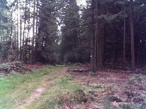 | ||
Steigkoppe is a wooded hill in the Spessart range of Bavaria, Germany.
Map of Steigkoppe, 63869 Sailaufer Forst, Germany
The 502 metres (1,647 ft) tall hill is located in the district of Aschaffenburg. More specifically, Steigkoppe is in the unincorporated area Sailaufer Forst between Laufach and Jakobsthal, part of Heigenbrücken.
The Eselsweg long-distance hiking path passes over the hill. There is also a district road (AB2) from Sailauf to Wiesen. South of the peak rises the Beibuschbach. To the west lies the source of the Sailaufbach.
References
Steigkoppe Wikipedia(Text) CC BY-SA