
Lowest elevation 1,350 m (4,430 ft) Postal code 420 36 Local time Monday 8:20 AM | Highest elevation 1,420 m (4,660 ft) Time zone EET (UTC+2) Area code(s) +30-2432-xxx-xxx Municipality Kalabaka | |
 | ||
Weather 2°C, Wind NE at 8 km/h, 95% Humidity | ||
Stefani (Greek: Στεφάνι, Aromanian: Sklinjasa) is an Aromanian village and a community of the Kalabaka municipality. Since the 2011 local government reform it was part of the community of Aspropotamos, of which it was a communal district. The 2011 census recorded 60 residents in the village. The community of Stefani covers an area of 44.587 km2.
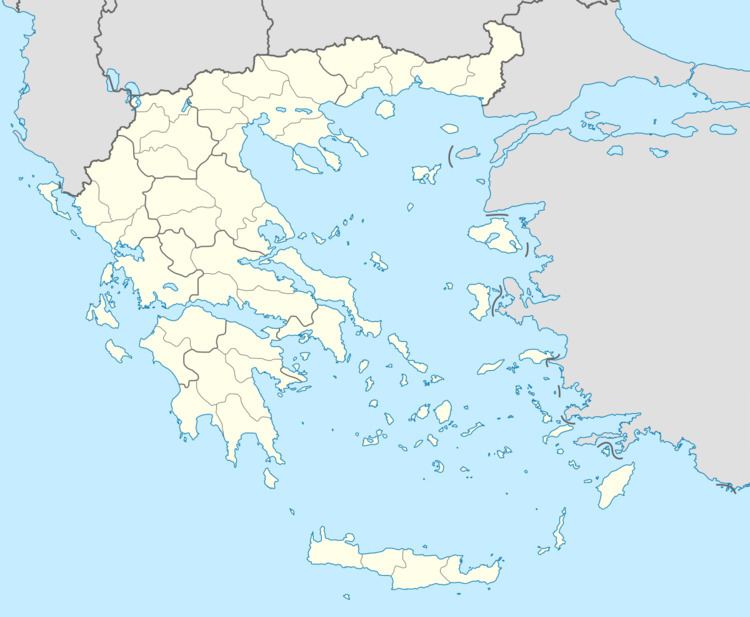
Map of Stefani 420 36, Greece
References
Stefani, Trikala Wikipedia(Text) CC BY-SA