
Country United States County Cumberland Time zone Eastern (EST) (UTC-5) Population 1,139 (2010) | Elevation 92 m Area code 207 | |
 | ||
Area 26.42 km² (25.9 km² Land / 52 ha Water) | ||
Steep Falls is a census-designated place (CDP) in the town of Standish in Cumberland County, Maine, United States. The population was 1,139 at the 2010 census. It is part of the Portland–South Portland–Biddeford, Maine Metropolitan Statistical Area. The town is part of Maine School Administrative District #6, which includes Bonny Eagle Middle and High Schools.
Contents
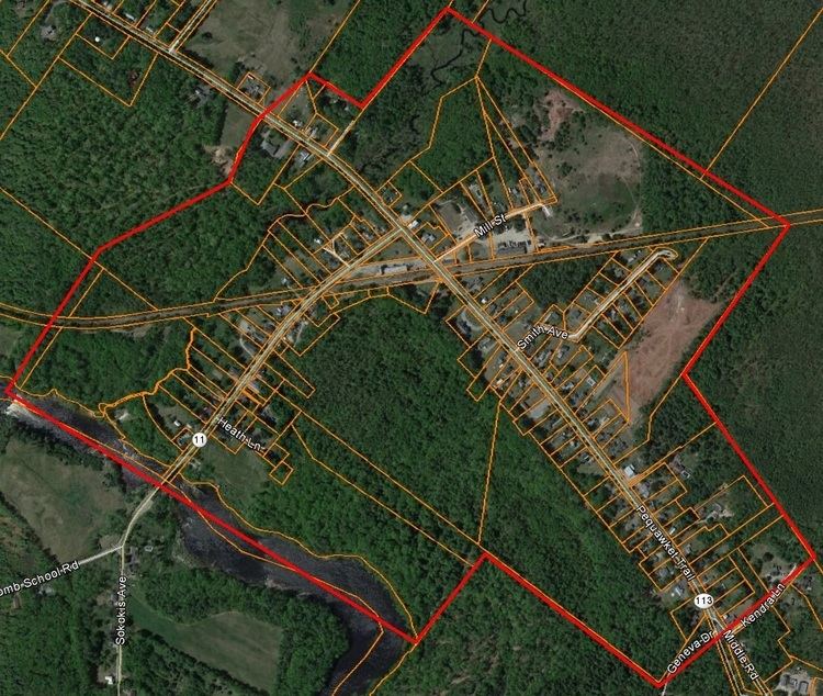
Map of Steep Falls, Standish, ME, USA
Geography
Steep Falls is located in the western corner of the town of Standish along the Saco River at 43°47′38″N 70°39′6″W. Maine State Route 11 crosses the Saco River into the community, heading southwest towards Limington and Limerick and north towards Naples. Maine State Route 113 coincides with Route 11 through the center of Steep Falls, then heads southeast towards Standish village and northwest towards Hiram and Fryeburg.
According to the United States Census Bureau, the Steep Falls CDP has a total area of 10.2 square miles (26.4 km2), of which 10.0 square miles (26.0 km2) is land and 0.15 square miles (0.4 km2), or 1.58%, is water.
Climate
This climatic region is typified by large seasonal temperature differences, with warm to hot (and often humid) summers and cold (sometimes severely cold) winters. According to the Köppen Climate Classification system, Steep Falls has a humid continental climate, abbreviated "Dfb" on climate maps.