
Primary inflows Basin countries Canada Max. width 2.8 km (1.7 mi) Length 3.2 km Province Ontario Primary outflow Bass Creek | Primary outflows Bass Creek Max. length 3.2 km (2.0 mi) Surface elevation 316 m Width 2.8 km Inflow source Mud Creek | |
 | ||
Location Limerick, Hastings County, Ontario | ||
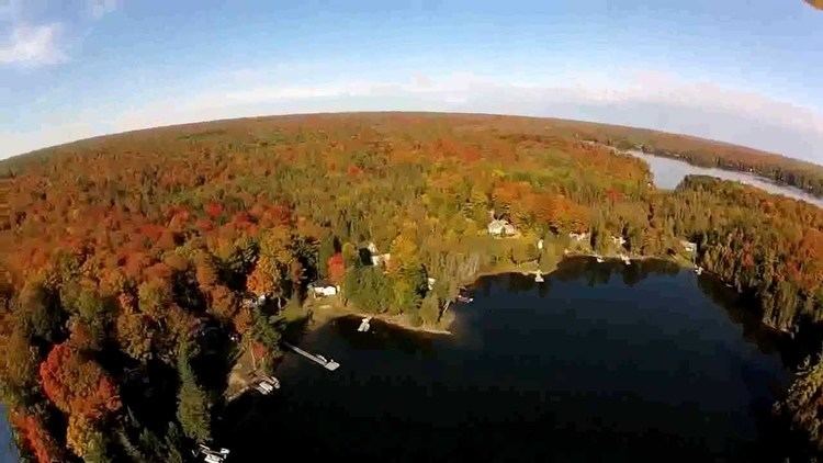
Steenburg Lake is a lake in the Trent River and Lake Ontario drainage basins in the township of Limerick, Hastings County, Ontario, Canada, about 1.1 kilometres (0.7 mi) west of Ontario Highway 62 and 28 kilometres (17 mi) south of the town of Bancroft.
Contents
Map of Steenburg Lake, Ontario, Canada
HydrologyEdit
The lake is about 3.2 kilometres (2.0 mi) long and 2.8 kilometres (1.7 mi) and lies at an elevation of 316 metres (1,037 ft). It has four named islands: Crab Island, Dewey's Island, Picket Island and Powers Island; and two named bays: Adam's Bay and Austin's Bay. Sunset Point from the east and The Headland from the west jut into the middle of the lake.
There are six inflows. Mud Creek from Paddy's Lake at the southwest is the only named one. The other five unnamed creek inflows are: two at the northwest, one at the north, one at the northeast and one at the east. The primary outflow is Bass Creek to Limerick Lake, which flows via Beaver Creek, the Crowe River and the Trent River to the Bay of Quinte on Lake Ontario at Trenton.
SettlementsEdit
Steenburg Lake is on the northwest bay.