
Area code(s) 204, 431 Local time Sunday 7:33 PM | Time zone CST (UTC−6) NTS Map 062H16 | |
 | ||
Weather 6°C, Wind NW at 5 km/h, 72% Humidity | ||
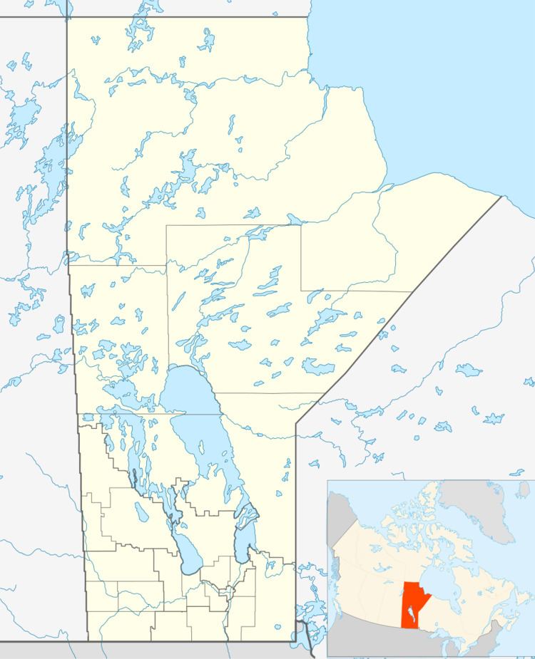
Ste. Rita is an unincorporated community east of Winnipeg on Manitoba Highway 15. The Post Office was established there as Rita in 1934 on NW34-10-9E and officially became Ste. Rita in 1965 and closed a few years later. The Greater Winnipeg Water District Railway passes near the community and the Railway point was known as Craig or Craig Siding. It is part of the Rural Municipality of Reynolds.
Map of Ste. Rita, MB, Canada
Ste Rita was named after the local church. The School District of Craig Siding was located on SE4-11-9E.
References
Ste. Rita, Manitoba Wikipedia(Text) CC BY-SA