
Local time Monday 1:16 AM | Population 70 | |
 | ||
Weather 6°C, Wind W at 19 km/h, 66% Humidity Voivodeship Warmian-Masurian Voivodeship | ||
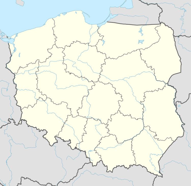
Stawiska [staˈviska] (German: Stawisken, from 1938-45 Teichen) is a village in the administrative district of Gmina Węgorzewo, within Węgorzewo County, Warmian-Masurian Voivodeship, in northern Poland, close to the border with the Kaliningrad Oblast of Russia. It lies approximately 12 kilometres (7 mi) south-west of Węgorzewo and 84 km (52 mi) north-east of the regional capital Olsztyn.
Map of Stawiska, Poland
Before 1945, the area was part of Germany (East Prussia).
The village has a population of 70.
References
Stawiska, Warmian-Masurian Voivodeship Wikipedia(Text) CC BY-SA