
Elevation 231 m Local time Monday 1:07 AM | Postal code 696 38 Area 4.94 km² Population 368 (2008) | |
 | ||
Weather 2°C, Wind N at 8 km/h, 69% Humidity | ||
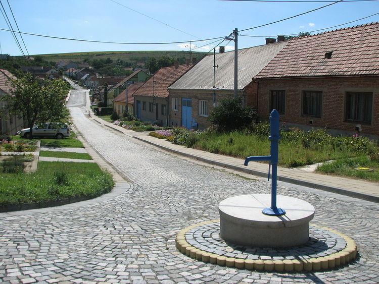
Stavěšice is a village and municipality (obec) in Hodonín District in the South Moravian Region of the Czech Republic.
Map of 696 38 Stav%C4%9B%C5%A1ice, Czechia
The municipality covers an area of 4.94 square kilometres (1.91 sq mi), and has a population of 368 (as at 1 January 2008).
Stavěšice lies approximately 19 kilometres (12 mi) north-west of Hodonín, 38 km (24 mi) south-east of Brno, and 224 km (139 mi) south-east of Prague.
References
Stavěšice Wikipedia(Text) CC BY-SA