
District Göttingen Time zone CET/CEST (UTC+1/+2) Area 77.55 km² Population 8,188 (31 Dec 2008) Dialling code 05543 | Elevation 288 m (945 ft) Postal codes 34355 Local time Monday 12:19 AM Postal code 34355 Team HSC Landwehrhagen | |
 | ||
Weather 4°C, Wind E at 10 km/h, 73% Humidity | ||
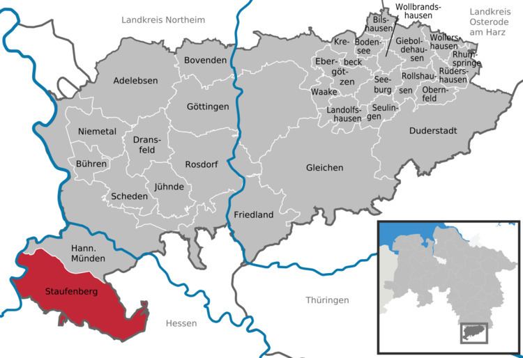
Staufenberg is the southernmost municipality of the district of Göttingen, and of Lower Saxony, Germany. It is situated east of the river Fulda, approx. 6 km south of Hannoversch Münden, and 12 km northeast of Kassel. Its seat is in the village Landwehrhagen.
Contents
Map of 34355 Staufenberg, Germany
Points of interest
References
Staufenberg, Lower Saxony Wikipedia(Text) CC BY-SA