
Country United States Time zone Eastern (EST) (UTC-5) Elevation 171 m | State Indiana ZIP code 47885 Local time Sunday 10:51 AM | |
 | ||
Weather 16°C, Wind S at 21 km/h, 84% Humidity | ||
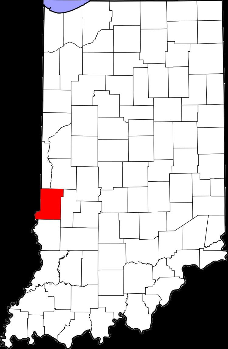
State Line is an unincorporated community in western Sugar Creek Township, Vigo County, in the U.S. state of Indiana.
Contents
Map of State Line, IN 47885, USA
Named for its proximity to the state border between Indiana and Illinois, it is part of the Terre Haute metropolitan area.
Geography
State Line is located at 39°26′13″N 87°31′46″W at an elevation of 561 feet.
References
State Line, Vigo County, Indiana Wikipedia(Text) CC BY-SA