
Country United States Time zone Eastern (EST) (UTC-5) Elevation 216 m | Township Antrim ZIP code 17263 | |
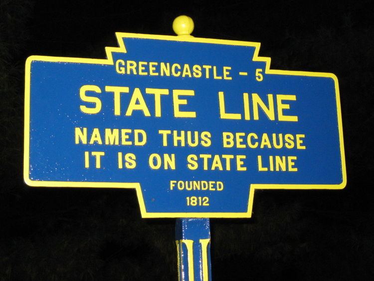 | ||
State Line is an unincorporated community and census-designated place (CDP) in Antrim Township, Franklin County, Pennsylvania, United States. It is next to the Maryland state line along Interstate 81 and U.S. Route 11 between Hagerstown, Maryland, and Greencastle, Pennsylvania. The ZIP code for State Line, PA is 17263. During the 19th century the village was also known as "Middleburg". As of the 2010 census the population was 2,709.
Contents
Map of State Line, PA, USA
Statistics
References
State Line, Franklin County, Pennsylvania Wikipedia(Text) CC BY-SA