
 | ||
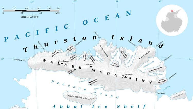
Starr Peninsula (72°1′S 99°31′W) is an ice-covered peninsula about 10 nautical miles (18 km) long, between Wagoner and Potaka Inlets on the north side of Thurston Island. Delineated from aerial photographs taken by U.S. Navy Operation Highjump in December 1946. Named by Advisory Committee on Antarctic Names (US-ACAN) for Robert B. Starr, oceanographer aboard the USS Glacier in this area during the U.S. Navy Bellingshausen Sea Expedition in February 1960.
Maps
This article incorporates public domain material from the United States Geological Survey document "Starr Peninsula" (content from the Geographic Names Information System).
References
Starr Peninsula Wikipedia(Text) CC BY-SA