
Local time Sunday 12:27 PM | County Świebodzin Population 450 | |
 | ||
Weather 11°C, Wind NE at 5 km/h, 43% Humidity | ||
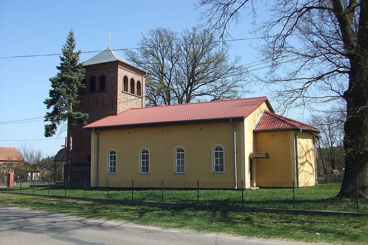
Staropole [starɔˈpɔlɛ] (German Starpel) is a village in the administrative district of Gmina Lubrza, within Świebodzin County, Lubusz Voivodeship, in western Poland. It lies approximately 5 kilometres (3 mi) north of Lubrza, 13 km (8 mi) north-west of Świebodzin, 46 km (29 mi) north of Zielona Góra, and 46 km (29 mi) south of Gorzów Wielkopolski.
Map of Staropole, Poland
Before 1945 the area was part of Germany (see Territorial changes of Poland after World War II). Following World War II the native German populace was expelled and replaced by Poles.
The village has a population of 450.
References
Staropole, Lubusz Voivodeship Wikipedia(Text) CC BY-SA