
Quadrant NW Sector Northwest Elevation 673 m | Ward 1 | |
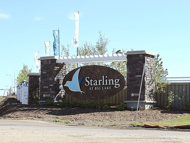 | ||
Starling is a neighbourhood in northwest Edmonton, Alberta, Canada that was established in 2010 through the adoption of the Big Lake Neighbourhood Two Neighbourhood Structure Plan (NSP).
Contents
Map of Starling, Edmonton, AB, Canada
It is located within the Big Lake area and was originally considered Neighbourhood 2 within the Big Lake Area Structure Plan (ASP). It was officially named Starling on October 27, 2010.
Starling is bounded on the west by 199 Street, north by 137 Avenue, east by Ray Gibbon Drive, southeast by Anthony Henday Drive (Highway 216), and south by Yellowhead Trail (Highway 16). Big Lake is located a short distance to the northwest of the neighbourhood, while the City of St. Albert is located across 137 Avenue to the north.
Demographics
In the City of Edmonton's 2014 municipal census, Starling had a population of 7002179000000000000♠179 living in 7001730000000000000♠73 dwellings.