
Local time Sunday 11:12 AM | ||
 | ||
Weather 14°C, Wind W at 16 km/h, 80% Humidity Points of interest Manita peć, Anica Kuk, Winnetou Museum, Bojin Kuk | ||
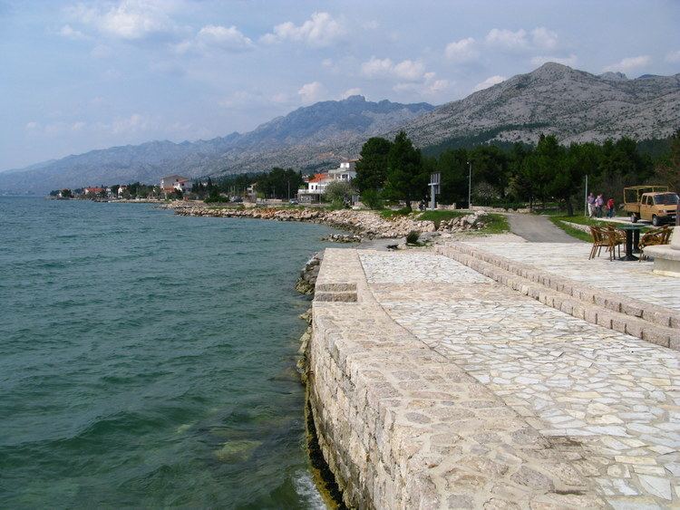
Starigrad paklenica top studio
Starigrad (Italian: Cittavecchia) is a municipality in Croatia in the Zadar County. The total population is 1,876 (census 2011). According to the 2011 census, 96% of the population are Croats.
Contents
Map of Starigrad, Croatia
The list of settlements in the municipality is:
Manita pe np paklenica
History
Argyruntum was on a 3.4-acre (14,000 m2), now silted, island in the area east of the port. Emperor Tiberius erected protective walls and towers. Findings from about four hundred tombs are an evidence of great prosperity and trade relations in the Mediterranean. The oldest relic in the vicinity of Starigrad is the St. George Chapel in Rovanjska and St. Peter's Chapel in Starigrad from the ninth or tenth century. Mediaeval traces are the castles "Večka kula" (old names were: Vega, Vegium (not to be confused with Vegium (Karlobag).) and Wezuliae), which was the mediaeval Harbormasters' office, on a peninsula east of Starigrad and the "Paklarić" on the prehistoric ruins of the entrance to the Velika Paklenica.