
Country Ukraine Elevation 348 m (1,142 ft) Website село Старе Місто Local time Sunday 11:15 AM | District Pidhaitsi Raion Population 1,107 Area 29.96 km² Province Ternopil Oblast | |
 | ||
Weather 2°C, Wind N at 21 km/h, 83% Humidity | ||
Stare Misto (Stari Pidhaytsi) (Ukrainian: Старе́ Мі́сто (Старі́ Підга́йці)), (Polish: Staremiasto) is a village (selo) in the Pidhaitsi Raion. It lies on the River Koropets in the center Pidhaitsi Raion (district) in the Ternopil Oblast. Local government – Staromiska village council. To her subordinated villages Holendra and Zahaytsi. Prior to 1990, belonged to Berezhany Raion. Pop. 1,107.
Contents
Map of Stare Misto, Ternopil Oblast, Ukraine
History
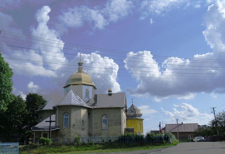
According to the chronicles of the church in the territory of the village Stare Misto in the 14th century there was a settlement with the church. The first written mention of Pidhaytsi is written in the 1st volume of the collection of the medieval documents in 1397.
The territory of the settlement repeatedly has undergone to frequent attacks by foreign invaders. Are known attacks of Tatars in 1516, 1620, 1621, 1633, respectively, of the Polish nobility in the 1618, of Cossacks in 1648, 1653, 1655, respectively. There was a battle between the forces of Peter Doroshenko and Jan Sobieski in the fields near Stare Misto in 1667. Even today, one can find traces of defensive walls and signs fires.
Stari Pidhaitsi was renamed into Stare Misto in 1469.
When the Stare Misto came under the Austrian power, it was already quite restored, having 116 houses in 1785.
The Village was highly developed in the 19th ctntury, especially after the abolition of serfdom in 1848. “Prosvita”, “Sich”, “Ridna Shkola” and other societies were established in the early 20th-ctntury. The slogans of the new-created Ukrainian National Democratic Party promoted the development of populations national consciousness.