
Area 2.9 km² Population 91 (2002) | Elevation 165 m Local time Sunday 8:27 AM | |
 | ||
Weather 3°C, Wind SE at 3 km/h, 88% Humidity | ||
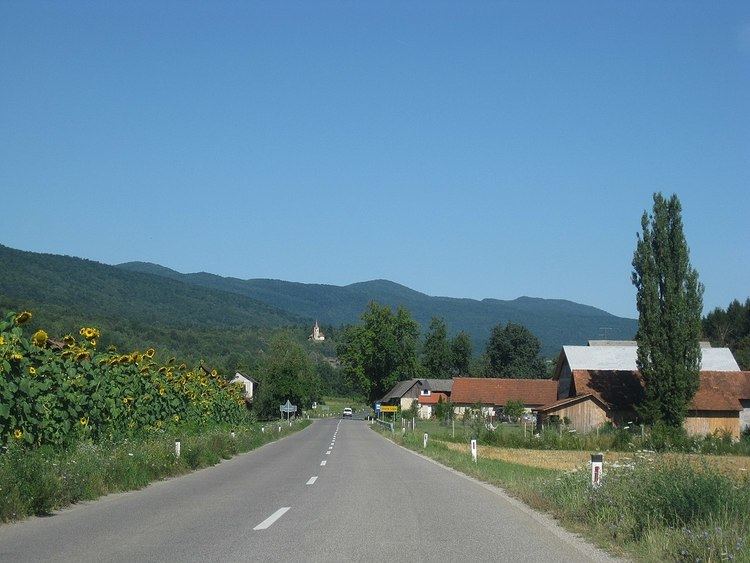
Stara Lipa ([ˈstaːɾa ˈliːpa]; German: Altlinden) is a settlement on the road from Dragatuš to Vinica in White Carniola in southeastern Slovenia. It belongs to the Municipality of Črnomelj. The area is part of the traditional region of Lower Carniola and is now included in the Southeast Slovenia Statistical Region.
Map of 8344 Stara Lipa, Slovenia
References
Stara Lipa, Črnomelj Wikipedia(Text) CC BY-SA